



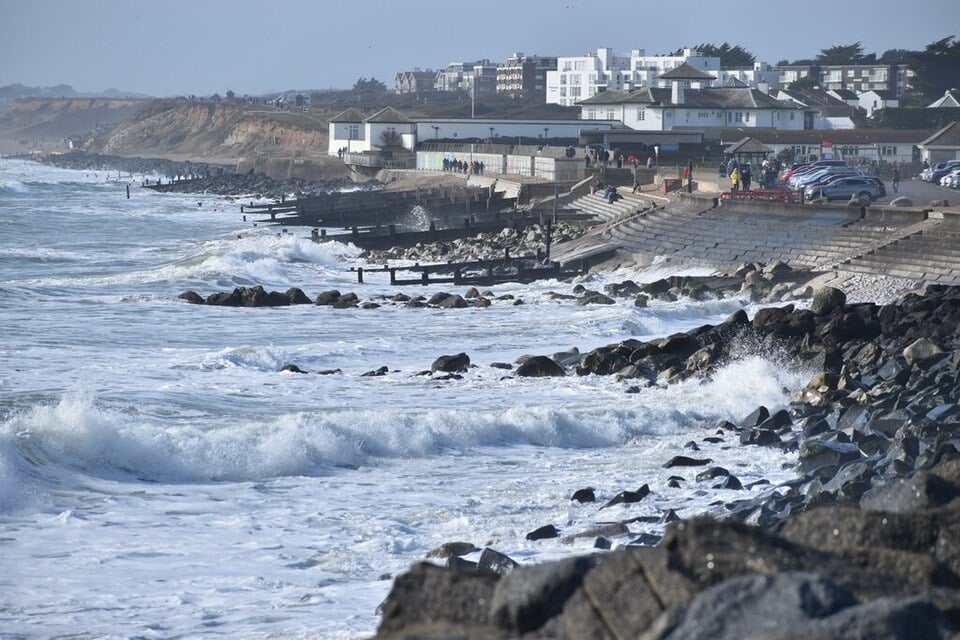
The Met Office says strong winds could bring a danger to life from flying debris, while Storm Austen has already caused flooding and power cuts. The warning colour needs checking before publication.
Forecasters have warned that Scotland could be hit by gusts of up to 80mph this weekend as Storm Boelo sweeps in. It is expected to arrive on Saturday, the day after Storm Austen brings heavy rain to many areas on Friday. A Met Office yellow warning for strong winds has been upgraded to amber for all of mainland Scotland and the islands off its west coast, according to the source. It warns of potential danger to life from flying debris, damage to buildings, power cuts and travel disruption.
The warning
The yellow warning starts at midday on Saturday. The amber alert comes into force at 6pm and lasts until 9pm on Sunday. Only Orkney stays under yellow. The Met Office said: “Very strong westerly winds associated with Storm Boelo are expected with fairly widespread gusts of 60 to 70mph and gusts to 80mph in exposed coastal areas.”
It added: “The strongest winds will initially affect western Scotland and far north of Northern Ireland on Saturday evening and then spread eastwards overnight and through Sunday.”
The research notes could directly verify only a yellow warning on the Met Office’s live warnings page, covering 6pm Saturday to 9pm Sunday. They say some recent reports refer to an amber upgrade that could not be reconciled with the official page. Please check the colour before publishing.
On Friday, a Met Office yellow warning for rain covers much of southern and eastern Scotland. The Met Office said there was a “small chance” that homes and businesses could be flooded, with damage to buildings. Travellers have been urged to check train and bus availability, and drivers warned that spray and flooding may cause road closures. The notes say 50mm to 75mm of rain is forecast in southern and eastern Scotland, possibly over 80mm on higher ground.
Impacts so far
According to the research notes:
- Power: More than 16,000 properties in south-west England were without electricity by late Friday morning, the Associated Press reported. Met Office Chief Forecaster Neil Armstrong warned that trees still in leaf raise the risk of damage to power lines and railways.
- Shetland: Flash flooding hit businesses in Lerwick and a landslide closed the road between Garderhouse and Reawick, The Scottish Sun reported. The Scottish Environment Protection Agency had 11 flood alerts and no flood warnings in force at that stage.
- Trains: ScotRail cancelled the 2.55pm Montrose to Aberdeen service because of a weather speed restriction. The 4.09pm Carlisle to Glasgow Central skips Kilmaurs, Stewarton, Dunlop and Barrhead, and the 4.04pm Aberdeen to Edinburgh faces a 15-minute delay. Northern has reduced services until Monday 26 October.
- Ferries: Caledonian MacBrayne warned of delayed or cancelled west coast sailings through Sunday, and possible changes to terminal hours.
Preparations
Scottish and Southern Electricity Networks has raised its weather warning status and arranged extra engineers. It will message more than 220,000 vulnerable customers. It forecasts gusts of up to 85mph across the Northern and Central Highlands, Western Isles and northern parts of the North East from about 9am on Sunday. It expects two periods of damaging wind on Saturday, around midday in the Western Isles, Argyll and West Highlands, and again about 9pm, including Shetland.
In the Republic of Ireland, Met Eireann has an orange rain warning for Kerry from 7am to 2pm on Saturday. An orange wind warning covers Donegal, Galway, Leitrim, Mayo and Sligo from 2pm Saturday to 9am Sunday, and a marine gale warning covers all Irish coasts. The Met Office says unsettled weather may continue early next week, with calmer conditions possible across southern Britain later.
