



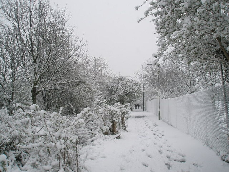
The Met Office says a band of wintry weather will cross northern areas from the evening, although forecasters stress it is not a widespread snow event and no warning has been confirmed.
Parts of Scotland are expected to see snow from Wednesday evening into the early hours of Thursday, according to Met Office weather maps. The wintry band is forecast to move westwards from around 7pm on Wednesday 21 October until about 4am on Thursday. Areas shown on the maps include Inverness, Aberdeen, Banff, Perth and Stirling. At its heaviest, snow is forecast to fall at up to 4mm an hour, with the heaviest flurries near Aviemore early on Thursday.
Where and when
The areas named on the forecast are Inverness and Lochaber, Kingussie and Badenoch, Aberdeen and Deeside, Banff, Perth, the Highlands and the west. The 4mm-an-hour figure is a water-equivalent rate, not the depth of snow that will settle. It cannot reliably be turned into an accumulation forecast without the snow-to-water ratio, temperature and ground conditions. Snow symbols on a chart also do not mean that roads or residential areas will turn white.
Mountain forecasts show where the heaviest snow is most likely, and suggest it could begin earlier than 7pm:
- Ben Nevis: Heavy snow on Wednesday, changing to mist overnight, with summit temperatures from -1C to 1C. Light snow showers are forecast on Thursday and light snow on Friday.
- Schiehallion: Rain changing to heavy snow by late morning on Wednesday, with snow through much of the afternoon and evening and temperatures of 0C to 2C. Thursday is mostly misty before brightening, with sleet possible on Friday.
- Aonach Mor: Heavy snow from the morning.
- Sgurr nan Each: Light snow from late morning.
- A’ Chralaig: Sleet changing to snow.
- Sgurr Dearg, Skye: Sleet and snow on Wednesday, snow showers on Thursday and further wintry conditions possible on Friday.
These are individual mountain forecasts, not counties under official snow warnings. Conditions on exposed hills may therefore stay wintry beyond Thursday morning, though the weather is changeable.
Not a widespread event
The Met Office’s national forecast, updated at 4am on Sunday, describes a more unsettled spell from Tuesday to Thursday. It predicts cloud and outbreaks of rain, some of them heavy, and possibly very windy weather later in the week. Temperatures are expected to be around the seasonal average. Its longer-range outlook points to temperatures near or slightly above normal, with possibly stormy weather later in October.
Aviemore itself is forecast rain and cloud on Wednesday, with a high of 9C, a low of 2C and a 75% chance of rain. Thursday should reach about 10C. Snow could therefore affect the surrounding Cairngorms without settling in the town. Northern Scotland may see frost before then, with the Grampian forecast predicting lows of -2C on Sunday night into Monday morning.
A snow forecast is not a weather warning, which is issued when the expected weather presents enough risk of disruption or harm. No official Met Office snow warning covering the five areas has been confirmed, and there have been no reports of school closures, major travel disruption or widespread lowland snow.
The wider outlook
Met Office chief forecaster Chris Bulmer said: “For many, this weekend brings a window of dry and bright autumn weather, with some sunny spells and light winds as high pressure stays dominant. Overnight may feel particularly chilly, and those in eastern and southeastern areas should watch out for some heavy showers.”
He added: “There are signs that high pressure will loosen its grip through next week, allowing for lower pressure and Atlantic weather systems to have more influence by the end of the week, increasing the chance of spells of wet and windy weather for all areas.” He said there was “still some uncertainty in the likely change in weather patterns through next week with details expected to become clearer over the coming days”.
