



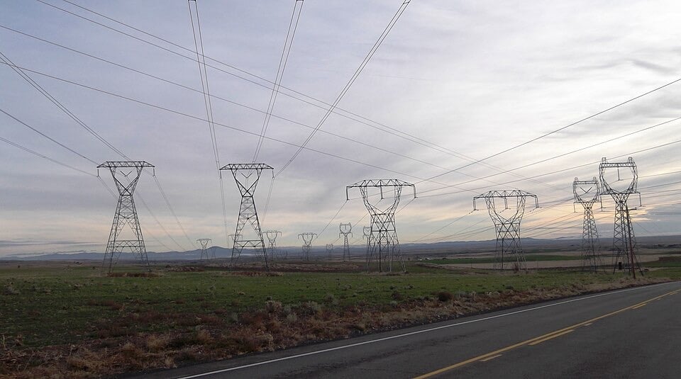
The North American Electric Reliability Corporation says heavy rain, snow and ice, especially across the middle of the continent, pose real risks even if the winter is generally mild. It also says 99% of winter generating capacity has declared cold-weather readiness.
The North American Electric Reliability Corporation (NERC) has warned grid operators that the strengthening “super El Niño” in the Pacific is a looming threat to US power systems this winter. In a short video published on its YouTube channel on Monday, it urged operators to prepare early. The National Oceanic and Atmospheric Administration (NOAA) says El Niño is expected to keep strengthening, with a very strong event likely through at least March. NERC’s full winter assessment is due on Wednesday.
What NERC said
“The really big variable this year is the El Niño weather system that has formed in the Pacific,” NERC president and chief executive Jim Robb said in the video. “El Niños are notoriously disruptive to normal weather patterns, with significant precipitation expected especially in California and the Southwest. While generally milder weather is expected this winter, that outlook can mask some very real performance risks for the sector in the winter driven by heavy rain, snow, and ice, particularly across the middle section of the continent.”
How strong is this El Niño?
El Niño is a climate pattern in the tropical Pacific marked by abnormally warm water, which can shift weather around the world. Many independent meteorologists and weather agencies are calling the current event a “super El Niño”. NOAA calls it “very strong”. Both labels describe waters warmer than average, usually by 2C or higher. In the US, El Niño has the widest effect in autumn and winter, bringing cooler, wetter conditions to the South and warmer, drier conditions to the North. It can also affect the storm track, whether precipitation falls as rain or snow, and extreme cold spells.
NOAA’s latest update, issued on 12 November, puts the chance of an event exceeding historical El Niño strength records back to 1950 at about 60%, based on its three-month Relative Oceanic Niño Index. That figure applies to the October-December and November-January periods, not the whole winter. It puts the chance of strong-to-very-strong conditions continuing into January-March 2027 at more than 79%, with weakening expected to begin early in the new year. The subsurface Pacific is exceptionally warm, with some anomalies above 10C below the surface.
Reports that the Pacific is 4C above average need qualifying. NOAA’s 12 November figures show +4.4C in the Niño-1+2 region of the far eastern equatorial Pacific and +3.6C in Niño-3. The Niño-3.4 region, which is the key measure of El Niño strength, stood at +2.5C. A reading above 4C in one region does not mean the whole event has broken every record.
Why cold is a grid problem
Extreme cold strains power systems in several ways. Demand climbs as homes and businesses use more energy to keep warm, while freezing temperatures and ice can disrupt power plants, fuel supplies and other grid infrastructure. The risk is higher in southern regions that have not historically built equipment for prolonged cold.
The deadly February 2021 Texas freeze showed the consequences. During Winter Storm Uri, plants and infrastructure struggled in the cold, and the Electric Reliability Council of Texas (ERCOT) ordered rolling blackouts to stop the grid collapsing. More than 4.5 million Texans lost power, some for days. A later investigation by the Federal Energy Regulatory Commission (FERC) and NERC found that frozen equipment and fuel supply problems were behind more than three-quarters of the unplanned generation outages.
Signs of improvement
On 5 November, NERC reported that 99% of net winter generating capacity in the continental US had declared an ability to operate at extreme cold-weather temperatures for winter 2025-26. That is based on reported operating capabilities, not a guarantee that every generator will perform in every storm. A new standard, EOP-012-3, in effect since October 2025, requires better protection against freezing. NERC credits better operating procedures, cold-weather protections and coordination between electricity and gas operators since 2021.
On 10 September, FERC and NERC published a review of the January-February 2026 Arctic cold events. Despite sustained extreme conditions across the eastern US and Texas, they found no significant disruption to the bulk electricity or gas systems. Emergency fuel purchasing and coordination helped avoid outages, and the agencies credited improvements since earlier storms and emergency federal energy orders. They warned that prolonged cold still creates serious operational stress, and one successful response does not rule out future failures.
Rising demand
NERC’s previous winter assessment identified a separate structural risk. Forecast winter peak demand rose by about 20 gigawatts between the 2024-25 and 2025-26 assessments, while generating resources grew by about 10 gigawatts, so demand rose roughly twice as fast. Some regions reported demand growth approaching 10%, which shrinks the margin if power plants fail unexpectedly. Its long-term assessment forecasts 224 gigawatts of additional summer peak demand over the next decade, much of it from data centres supporting artificial intelligence and other digital services. NERC also warns that batteries cannot replace unlimited dispatchable generation, as their contribution in a long emergency depends on how long their stored energy lasts and whether they can recharge. Those pressures are separate from El Niño.
Other weather threats
NOAA’s 15 October winter outlook flagged flash flooding and mudslides in parts of the Southwest, where heavy rain on dry ground can cause rapid runoff. It said the northern Rockies may face worsening drought, with below-normal precipitation favoured in parts of the northern Mountain West, and that the Eastern Seaboard has higher odds of above-average precipitation. NOAA has introduced a Probabilistic Precipitation Portal giving ranges and probabilities for snowfall, rainfall and ice, and the National Weather Service plans stronger “Particularly Dangerous Situation” wording in some blizzard and ice-storm warnings.
Reuters reported on 16 November that the stratospheric polar vortex, a ring of winds high above the Arctic that influences the movement of cold air, is weakening unusually early. Scientists are looking at several possible factors, including the developing El Niño and unusually warm Arctic waters near Scandinavia and western Russia. A weak vortex can let cold air move farther south, though it does not guarantee a severe winter and other atmospheric patterns can counter it. For grid operators, a generally mild outlook can still contain short spells of dangerous cold.
What comes next
NERC will publish its detailed Winter Reliability Assessment, with region-by-region risk ratings, on Wednesday 18 November, and hold a public webinar from 3pm to 4pm Eastern time on Thursday 19 November. NOAA is due to update its seasonal temperature and precipitation forecasts on 19 November. The new ratings have not yet been published. Regions flagged in the earlier 2025-26 assessment as potentially vulnerable in widespread extreme cold were Texas, New England, the south-east, the north-west and the interior west. Those are not the 2026-27 risk ratings. NERC found resources were adequate for normal winter peak demand but warned that prolonged, widespread severe conditions could create shortages.
