


The yellow warning covers most of Scotland and a large part of northern England and runs until 10am on Monday. A separate UKHSA cold-health alert lasts until Thursday.
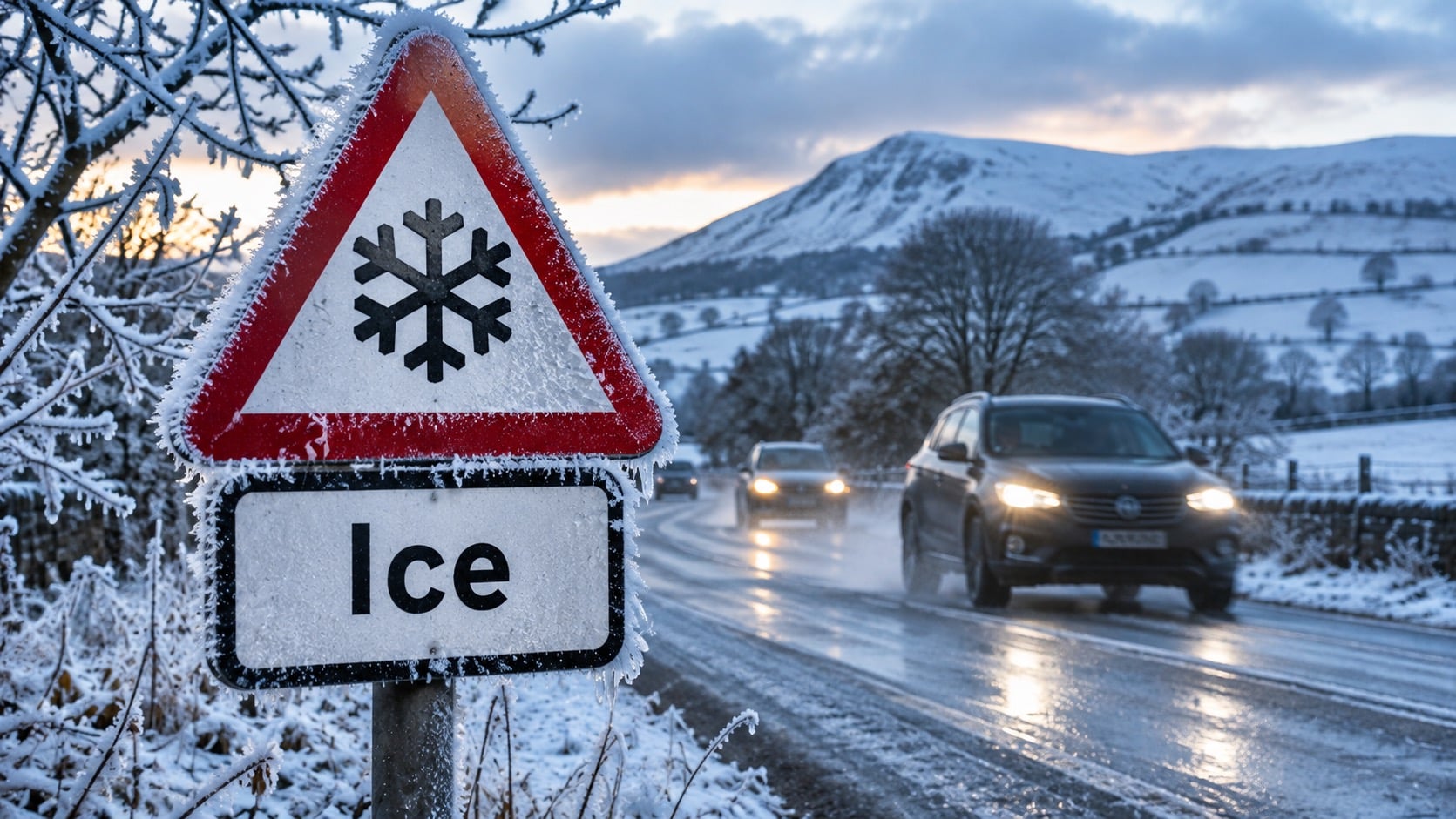
The Met Office has issued a yellow warning for ice across 23 areas as cold northerly air moves south. It covers most of Scotland and a large swathe of northern England and runs until 10am on Monday. Temperatures are expected to fall below freezing overnight, with icy stretches on untreated surfaces and difficult driving conditions likely. The UK is already in a cold snap, with temperatures of -6.4C recorded in Cumbria and Brecon last Thursday, and more wintry weather is forecast this week.
What the Met Office says
“An area of rain and hill snow (snow mainly above 200m but not expected to be impactful) will clear to the southeast tonight with skies then at least partially clearing,” the warning states. “This will result in temperatures falling below freezing and some icy stretches developing on untreated surfaces. This is likely to lead to difficult driving conditions.”
The conditions will probably not develop across northern England and south-east Scotland until the end of the night. In northern Scotland, icy conditions are likely to be made worse by wintry showers, with snow falling to low levels for a time before mostly retreating to higher ground late in the night. No more than 1 to 2cm is likely at lower levels, and higher ground could see 4 to 5cm.
Met Office meteorologist Ethan Douglas told the Press Association that rain before the overnight temperature drop could create hazardous ice on roads across northern Britain. Snow-related travel problems, he said, would probably be concentrated on Scottish hills. Monday is expected to be mostly dry and bright after the freeze, with sunny intervals for much of the UK and cloud and rain reaching south-western areas later in the day. Drivers could meet ice early even where the daytime forecast looks benign.
Areas covered
Central, Tayside and Fife: Angus, Clackmannanshire, Dundee, Falkirk, Fife, Perth and Kinross, Stirling
Grampian: Aberdeen, Aberdeenshire, Moray
Highlands and Eilean Siar: Highland
North East England: Durham, Northumberland
North West England: Cumbria
Strathclyde: East Ayrshire, North Lanarkshire, South Lanarkshire
South West Scotland, Lothian and Borders: Dumfries and Galloway, East Lothian, Edinburgh, Midlothian, Scottish Borders, West Lothian
Snow risk this week
Met Office maps show snow running across northern Wales and England from midnight on Monday into the early hours of Tuesday, before the band moves north and east and breaks up. Forecaster Helen Willetts said a northerly wind would return later on Sunday, pushing the weather fronts away and bringing “sparkling Arctic air”. Even at lower levels in the north there could be snow showers, gathering in force across northern Scotland.
“Tuesday looks quite an interesting day,” she said, as another weather system running south of the UK meets the cold air. “It is a long way off at the moment but we will firm up, don’t take this as read because it could be a little bit further north or south but wherever that weather front grinds to a halt we could see a spell of snow primarily on the hills but not necessarily exclusively. We could see something at lower levels as well.”
The Met Office’s latest forecast, issued at 4am on Sunday, identifies possible hill snow across North Wales, northern England and Scotland from Tuesday to Thursday. It does not forecast a confirmed widespread snow event at low levels. Its chief forecasters describe an unsettled pattern of alternating rain, sleet and mostly hill snow, and not a nationwide snowstorm.
Northern Scotland has the greatest risk of meaningful snow. Wintry showers may bring it temporarily down to about 200 to 300 metres, with roughly 2 to 5cm possible above 400 metres in exposed areas. That does not mean every town in the warning area will see snow.
The Mountain Weather Information Service forecast temperatures of about -2C at 900 metres in the south-eastern Highlands by midday on Sunday, with wind chill of around -10C to -15C on exposed higher ground. It expected the freezing level there to fall from about 1,200 metres before dawn to around 400 to 500 metres by Sunday afternoon. In the Pennines, persistent rain could turn to sleet or wet snow, with wind chill of -7C to -10C on exposed higher routes.
Just how cold has it been?
Temperatures reached -6.6C at Sennybridge in Wales and -6.5C at Shap in Cumbria, The Guardian reported on 14 November. In its 13 November statement, the Met Office confirmed this was the first widespread autumn frost for many parts of Britain, with daytime temperatures staying in single figures across much of the country and some overnight lows of -4C to -6C. The North East England forecast gives a minimum of -4C overnight and warns of untreated surfaces after Sunday afternoon’s persistent rain. Cumbria faces more rain and wind by Monday evening, with a maximum near 7C after a brighter start.
Health alert
Separately, the UK Health Security Agency (UKHSA) announced a yellow cold-health alert on 14 November. It covers the North East, North West and Yorkshire and the Humber and runs from 9pm on Sunday until 9am on Thursday 19 November. UKHSA says colder weather could raise demand for health and social care services and poses particular risks to older people and those with heart or respiratory conditions. It does not mean all residents face the same level of danger. The alert follows the season’s first, which covered the North West and West Midlands from 12 to 14 November.
The week ahead
- Sunday: Rain across northern England and southern Scotland, with wintry showers in northern Scotland.
- Monday: Overnight frost and possible icy roads, then brighter conditions.
- Tuesday: Renewed rain and possible hill snow across North Wales, northern England and Scotland.
- Wednesday: Changeable weather continues, with further rain and wintry conditions on higher ground.
- Thursday, 9am: UKHSA’s cold-health alert ends.
